Trifles to play with. See also the games and the tools
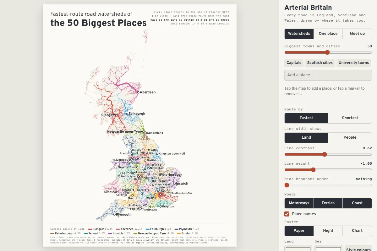
Arterial Britain
Posters of the roads of England, Scotland and Wales, drawn by where they take you: watersheds that split the country by which of a few places is nearest by car, all roads leading to one place with each road as thick as the land or people it serves, and the fairest place for up to eight travellers to meet. Routing runs in the browser over motorways, A and B roads and ferries. Tap the map to choose places, randomise, explore variations and save SVG or PNG
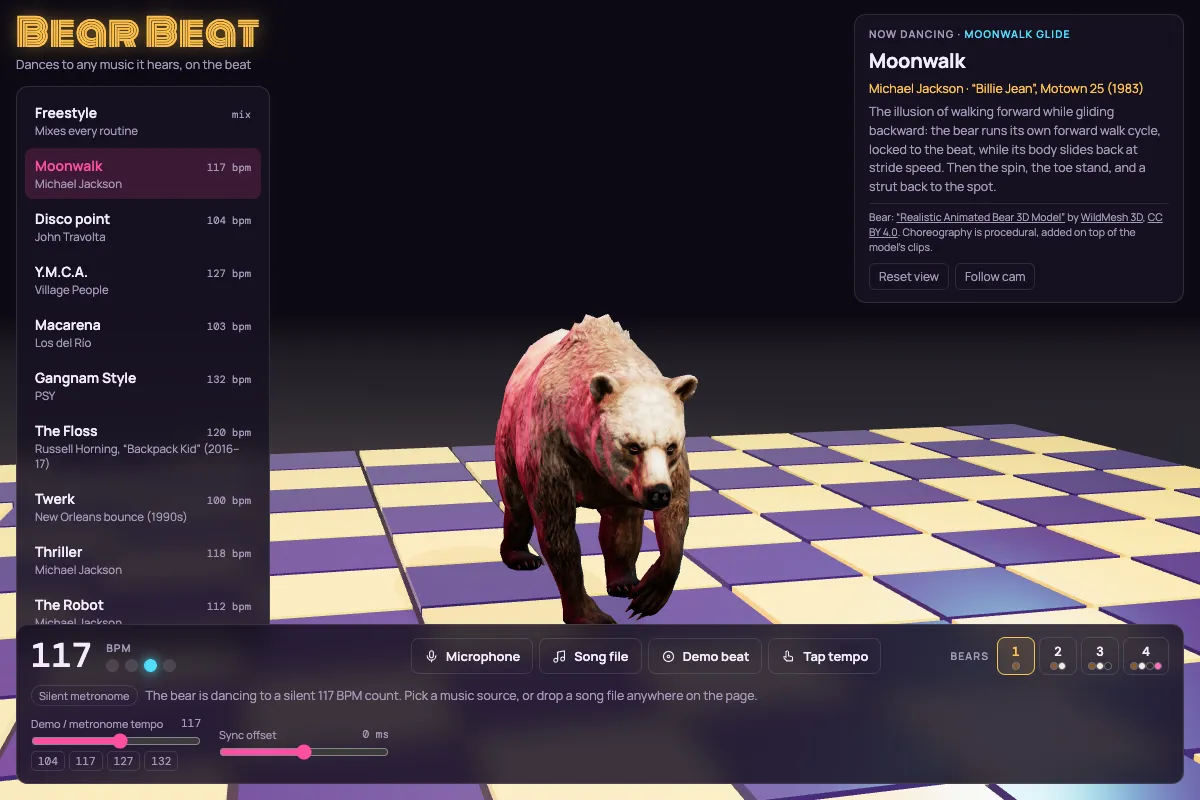
Bear Beat
Animated bears dance on a light-up disco floor to the beat of whatever they hear: the microphone, a song file, a built-in groove or tapped tempo. Ten routines from the Moonwalk to the Macarena, for one to four bears
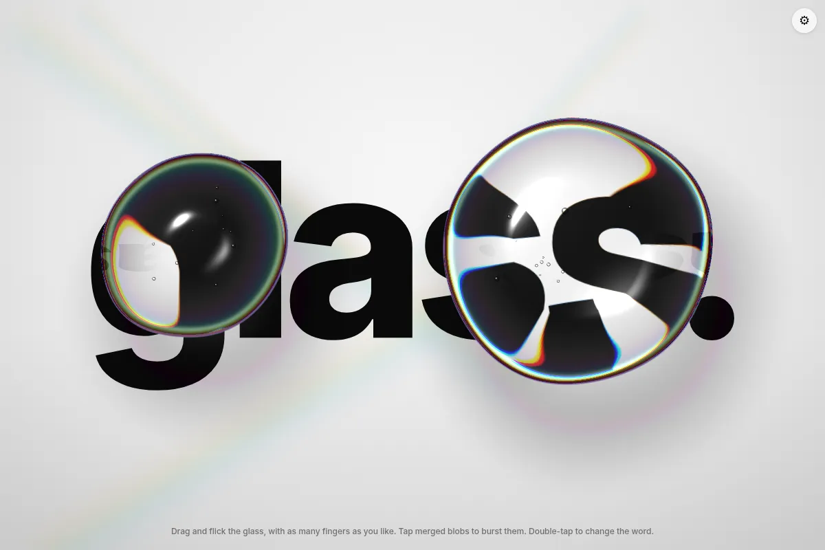
Blobbles
Blobs of glass at your command
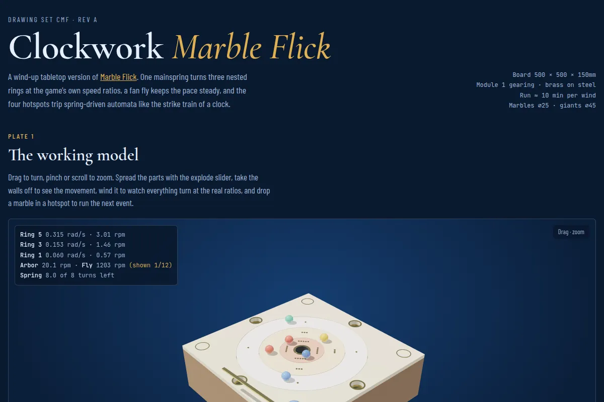
Clockwork Marble Flick
Blueprints for a wind-up tabletop Marble Flick: a working 3D model of the movement to turn, take apart and wind, six drawing sheets, and the schedules of wheels, speeds and parts
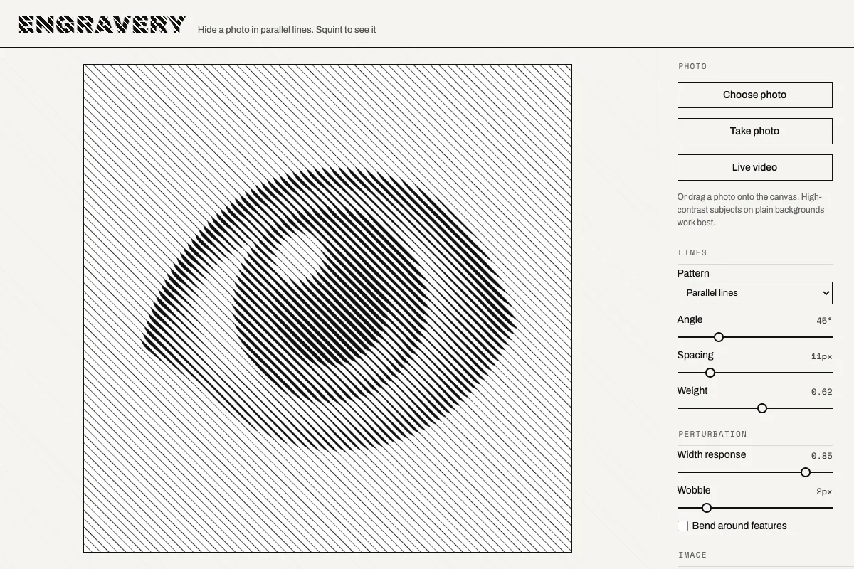
Engravery
Hide a photo in a field of parallel lines, then squint to see it reappear
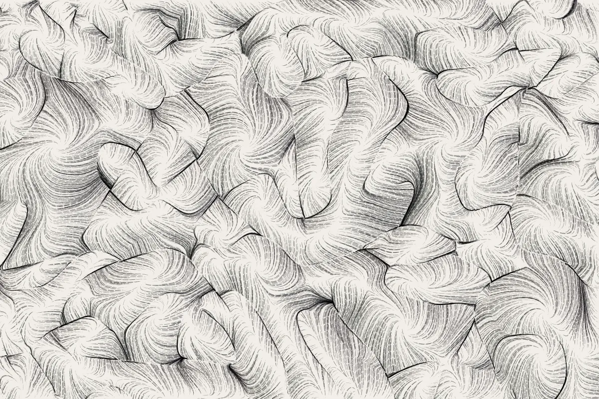
Flowing Field
An animated ink drawing of thousands of fine pen strokes sweeping into dark creased ridges. Drag to rake the strokes into line, then randomise, explore nearby drawings and cycle psychedelic colours
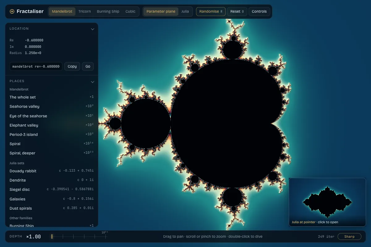
Fractaliser
A fast, smooth explorer of the Mandelbrot set and its relatives, the Tricorn, Burning Ship and Cubic Multibrot, and their Julia sets: zoom deep into them, randomise, and browse nearby variations of colour and place
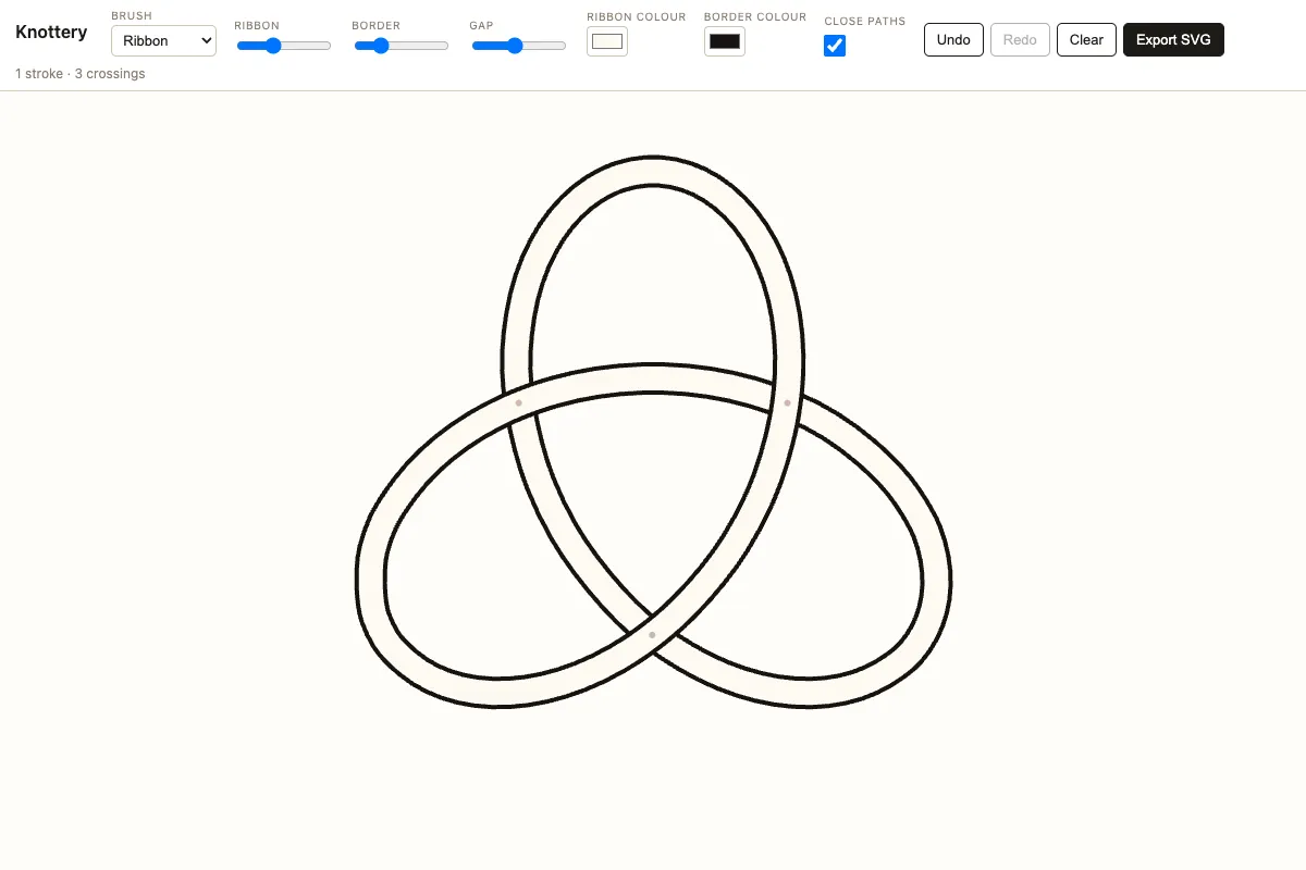
Knottery
Draw Celtic knots freehand: strokes become woven ribbons, and a tap on a crossing flips which strand passes over
Lozengineer
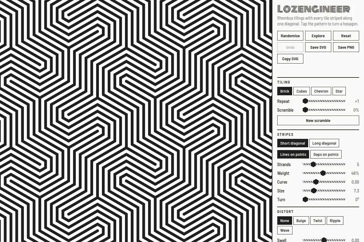
An op art explorer of lozenge tilings, the flat shadows of stacked cubes, with every rhombus striped along one diagonal so the stripes run on unbroken from tile to tile, curling into hooks and forking at the corners. Tap the pattern to turn a hexagon of tiles, tweak the sliders, randomise, explore variations and save SVG or PNG
Marblelous
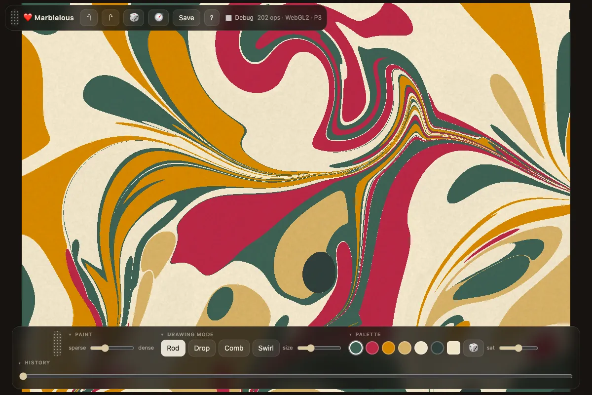
Drop inks onto a virtual marbling bath and comb them into swirling Florentine patterns
Mimic
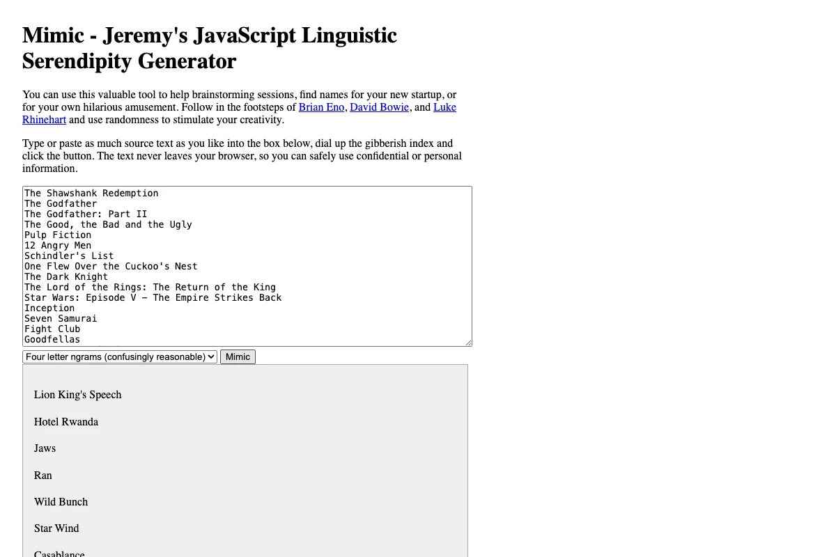
Feed in any text and dial up the gibberish index to generate new phrases in the same style
Quadrille
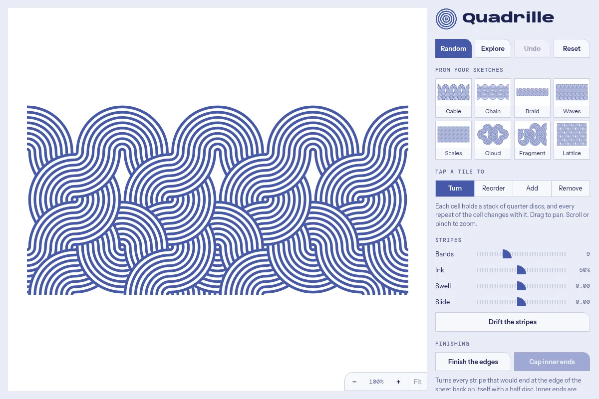
A pattern toy that builds interlaced op art bands from one element, a striped quarter disc in the corner of a square: stack the discs in each cell and their stripes join into arches, S-bends, chains and braids. Tap a cell to change it, try the presets taken from hand-drawn sketches, randomise, explore variations and save SVG or PNG
Radialator
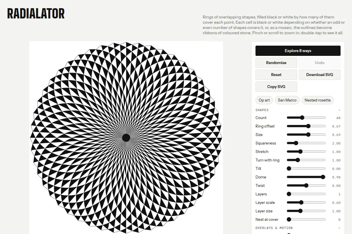
An op art explorer of radial parity patterns: rings of overlapping shapes, coloured black or white by how many of them cover each point, crossed with spokes and rings, or laid as ribbons of coloured stone like a Cosmati pavement. Tweak the sliders, randomise, explore nearby patterns and download them as SVG
Rug Addict
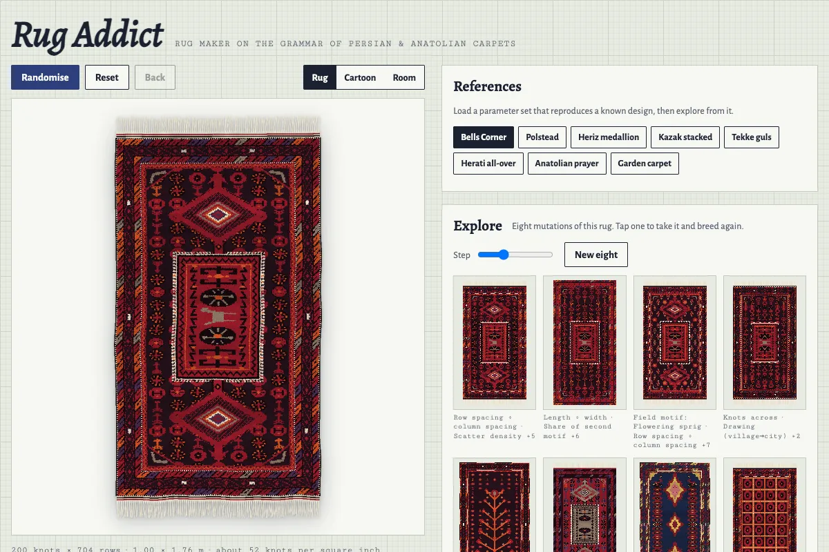
Persian, Anatolian, Caucasian and Turkmen rugs generated knot by knot from the grammar of real carpets: borders, field, medallions and motifs, shown as wool pile, as a weaver's cartoon or on the floor of a room, with randomise and eight-way exploration
Spotty Sphericle
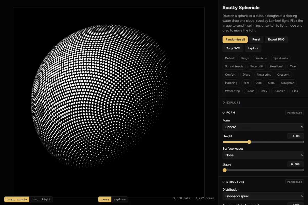
Thousands of dots on a spinning sphere, cube, doughnut, water drop or cloud, sized by the light falling on them: flick it, move the light, and breed new variations
Sunthesis
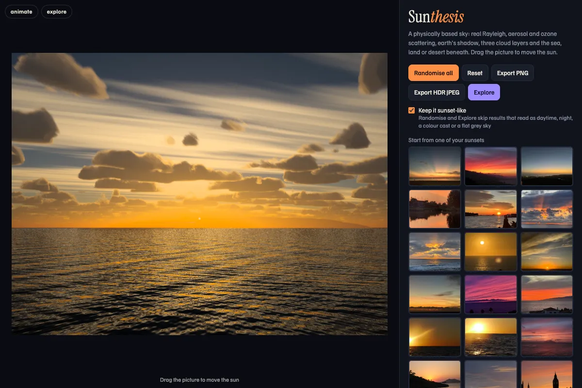
Photorealistic sunsets computed from the physics of sunlight passing through air, haze, cloud and water: start from one of 43 real photographs, then randomise, explore nearby skies and export HDR pictures
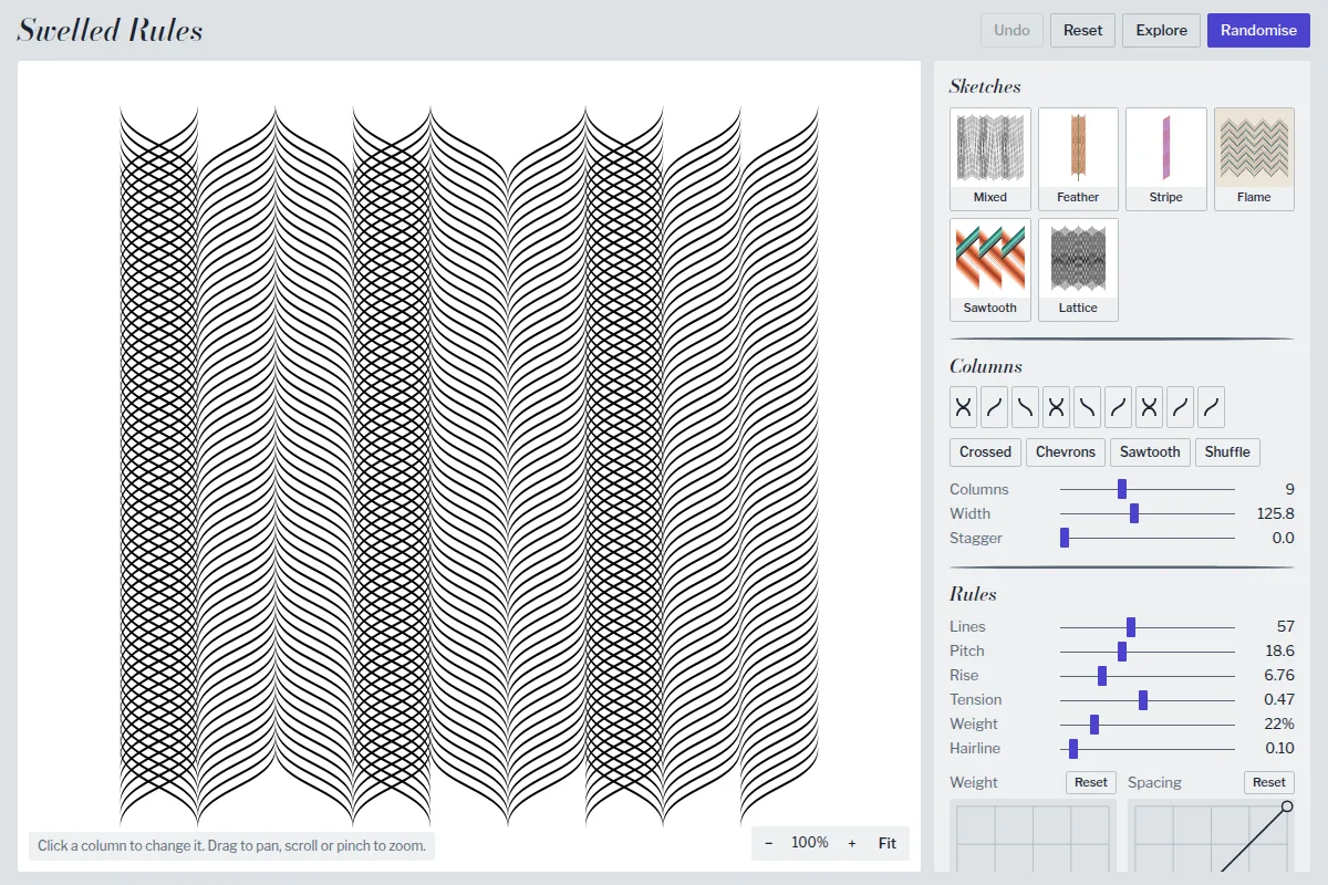
Swelled Rules
Columns of swelled rules, the printer's ornamental lines that are thick in the middle and fine at the ends, bent into S-curves that rise, fall or cross so the rules weave into feathers, stripes and lattices. Click a column to change its direction, try the presets drawn from hand-made sketches, randomise, explore variations and save SVG or PNG